
Fundy Trail Provincial Park


PLEASE NOTE: The suspension bridge at Big Salmon River is closed this season for renovations.
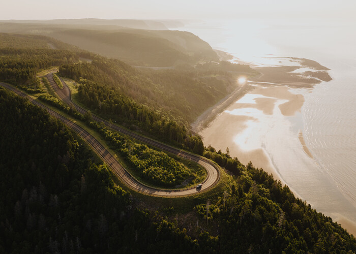
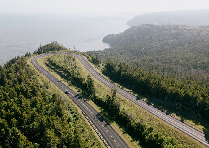
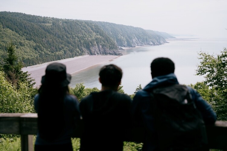
Hugging the Bay of Fundy coast with stunning views in every direction, the 6,323-acre Fundy Trail Provincial Park features a 30 km scenic drive and an interpretive centre to learn about our local and natural history. This picturesque New Brunswick road trip offers over 35 km of hiking and biking trails, more than 20 coastal lookouts, beaches, waterfalls and a 60 metre suspension bridge leading to the famous Fundy Footpath. Just minutes from St. Martins and less than an hour from Saint John and Sussex - you can spend a few hours or a few days!
Tide Tables
Trails
Legend
 Easy
Easy
 Moderate
 Difficult
 Very Difficult
1 - Sea Captain's Burial Ground Trail
Starting Location: Park in the lower part of P2. Cross the wooden bridge within the parking lot to connect to the trail. The distance for this trail is measured for one way.


2 - Flowerpot Rock Scenic Trail
Starting Location: Park in P1 or at Fownes Head Lookout, space permitting. Walk down the stairs and follow the path. The distance for this trail is measured for one way.


3 - Pioneer Loop Trail
Starting Location: Walking from the interpretive centre, cross the road directly across from the building and continue up the hill on the path to the right of the picnic tables. This short trail makes a loop so you may either take the path to the right, proceed down the trail, up the small cable ladder and down the stairs or walk up the stairs, turn right and follow the path and proceed down the cable ladder back to your beginning point. The distance for this trail is measured for the full loop.

4 - Hearst Lodge Scenic Trail
Starting from parking lot P8, set off on the wide gravel path towards the staircase to the Mitchell Franklin Bridge. After crossing on the sidewalk and descending the other side, head to your left. The trailhead to this narrow footpath sets off into the woods close to the river. The trail quickly becomes uneven underfoot with roots and rocks. There are punchy hills and wooden bridges along this trail. Please be cautious as this trail can be slippery when wet. The distance for this trail is 1 way from the trailhead, not the parking lot.


5 - Big Salmon to Long Beach Trail
(First Section of the Fundy Footpath)
Starting Location: Park at P8. Facing the river, proceed to your left along the river. Walk under the Mitchell Franklin Bridge on the Suspension Bridge Trail. Cross the suspension bridge and you will see the sign for the Trail Head. Follow the footpath to your right. The distance for this trail is measured for one way.

6 - Fundy Footpath
Vehicle parking for Footpath users starting/ending at Big Salmon River will now be P9 due to the closure of the suspension bridge. Access to the footpath from the parking lot will use the old Salmon River Road down to the east side of the closed suspension bridge
Starting Location: Park at P8. Facing the river, proceed to your left along the river. Walk under the Mitchell Franklin Bridge on the Suspension Bridge Trail. Cross the suspension bridge and you will see the sign for the trail head. Follow the footpath to your right. If your vehicle is remaining in the parkway overnight, please display a dated parking pass, available at all Kiosks, Big Salmon River Interpretive Center and Walton Glen Reception Center.
The Fundy Footpath (recently listed in the “50 Best Hikes in the World by Explore Magazine) is separate from the Fundy Trail Parkway although part of it does fall within our park. The footpath is a challenging wilderness trail that starts at the suspension bridge at Big Salmon River and hugs the coastline to the boundaries of Fundy National Park. Four to five days is recommended. The distance for this trail is measured for one way.
Fundy Footpath

7 - Long Beach Brook Falls Loop
Starting Location: Park at P13. Walk out towards the parkway and travel west on the righthand side toward the interpretive centre. At the beginning of the guard rail you will see the footpath.
Follow the blue blazes through the trail to the falls. After reaching the falls and following the blue markers you will meander through a mossy forest. At the top of the hill at the old access road, turn right, down the hill towards the parking lot. Zig zag down the hillside and through back to P13. The distance for this trail is measured for the full loop.

8 - Link to Fundy Trail
Starting Location: Park at P15 near the entrance of the parking lot. Follow the wide trail from the parking lot about 100 m in front of the building. About 0.8 km from P15, you will pass the footpath to the wetlands observation decks on your right. Proceed past the entrance to the wetlands trail to the next intersection. Do not veer to your left on the wide path. Stay straight and follow the footpath straight out to the Bay of Fundy. The distance for this trail is measured for one way.

9 - McCumber Brook Wetlands Trail
Starting Location: Park at P15 near the entrance of the parking lot. Follow the wide trail from the parking lot about 100 m in front of the building. About 0.8 km from P15, turn right off of the wide trail onto the footpath to the wetlands observation decks. The distance for this trail is measured for one way.
1.2 km to Observation Deck A

10 - McLeod Brook Falls Loop
Starting Location: Park your vehicle in Parking Lot 15 (P15). This newly looped trail can start to the left of the Walton Glen Reception Centre or by taking the Walton Glen
Observation Deck Shortcut Trail.
If you choose to hike the Walton Glen Shortcut way starting out, you will depart this gravel trail and head into the woods about 600m in.
The distance for this trail is measured for the full loop.
3.8k includes the short detour to Walton Glen Gorge Observation Deck as well.

11 - Walton Glen Gorge Observation Deck Trail
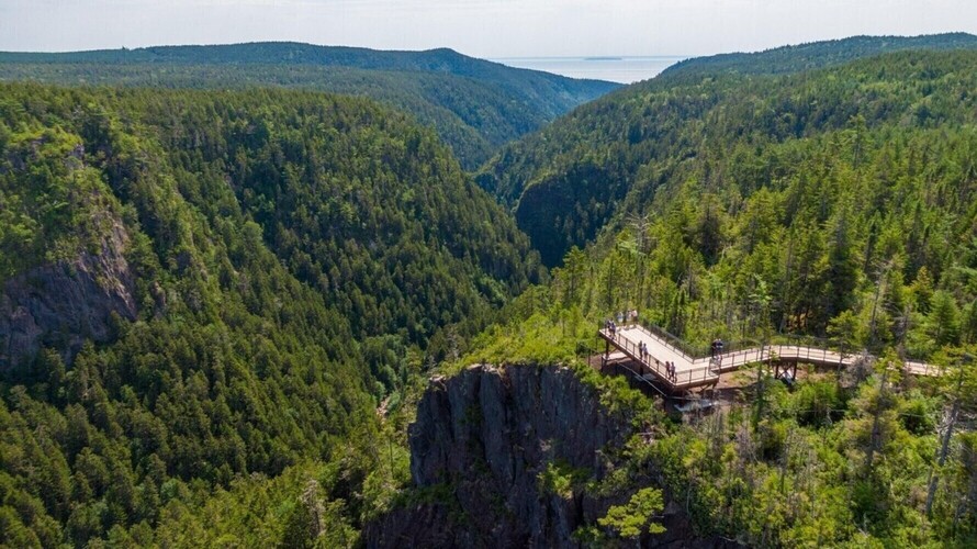
Starting Location: Park at P15. Follow the wide trail from the parking lot about 100 m to the right of the building. You will pass the access to the McCumber Brook Wetlands on your right. Continue on this trail which will veer to your left. You will eventually come to a narrow pathway and a blue sign that will mark the end of the parkway land and the beginning of the Big Salmon River Protected Natural Area. Follow this pathway 100 m and you will arrive at Walton Glen Gorge. Some call this the ‘Grand Canyon of New Brunswick’, while other think it is much more spectacular. The distance for this trail is measured for one way.

12 - Walton Glen Gorge Shortcut
Starting Location: Park at P15. Proceed behind the reception centre building to your right and follow the marked footpath. This shortcut trail includes 65 steps and a short incline. The distance for this trail is measured for one way.

13 - Eye of the Needle Trail
The Walton Glen Gorge Trail (formerly the Eye of the Needle Trail) in the Little Salmon Protected Natural Area, is a very technical and challenging trail. Since it is a linear trail, please remember that what you hike down, you must also hike up (making the trail a total of 2.4 km).
Descending and ascending on this in-and-out trail will involve holding onto chains on a narrow rock cliff edge, carefully navigating several steep switchbacks, and constant awareness of foot-placement and surrounding hazards.
This trail descends 180 metres down into the Walton Glen Gorge, characteristic of a narrow river canyon, with sheer cliffs on either side and the white water Walton Glen Brook running through it. The environment within the Walton Glen Gorge is extraordinary, but respecting the landscape is just as important to your safety as it is to conservation of this protected natural area.
Stay on the trail and use the trail at your own risk. Proper hiking footwear is a must. Sandals and sneakers are not recommended for this hike. Use caution on this trail as there are loose rocks and gravel.
Current & Upcoming Events
 Oct 1 - Oct 31
Guided Hiking Experiences at Fundy Trail - October series
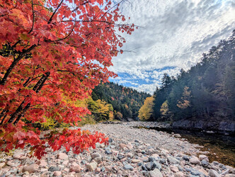
The forest is bursting into color, the air is crisp, and there’s no better time to explore the spectacular Fundy Trail Provincial Park!Join our experienced g...
Location: 3 Fundy Trail Parkway St. Martins